
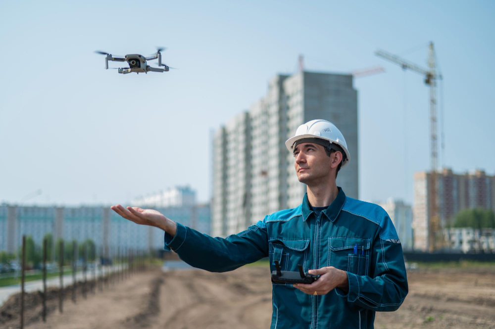
High-Resolution Data Collection:
Our drones are equipped with advanced cameras that capture high-definition photos and videos, providing clear and detailed images even in hard-to-reach areas.

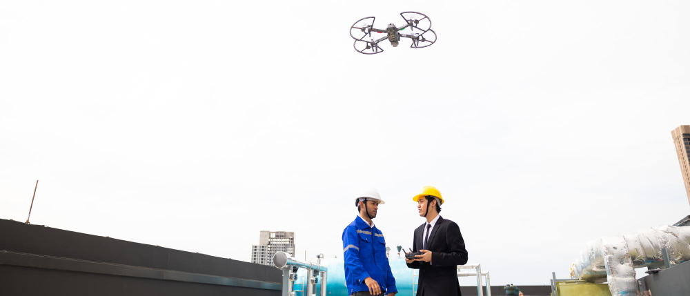
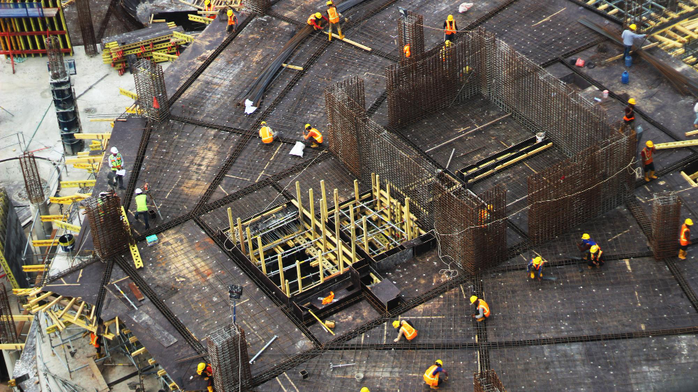
Structural Inspections:
Utilize high-resolution imagery and 3D modeling for detailed inspections of buildings, bridges, and other infrastructures. This non-invasive method allows for regular monitoring without disrupting the structure’s usage.

Photorealistic Renderings:
Integrate proposed designs into aerial views to create photorealistic renderings that can be used for stakeholder presentations, community consultations, and marketing materials.

Structural Inspections:
Utilize high-resolution imagery and 3D modeling for detailed inspections of buildings, bridges, and other infrastructures. This non-invasive method allows for regular monitoring without disrupting the structure’s usage.
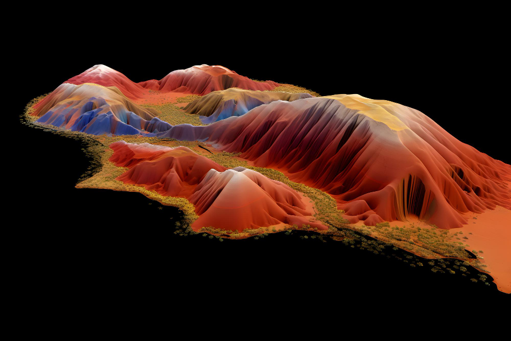
Detailed 3D Modeling:
Our photogrammetry process constructs detailed and accurate 3D models that can be used for visualization, simulation, and analysis.