- Home
- Industry
Industries
Empowering Professionals with Advanced Aerial Solutions
At Striker Aero Tech, we specialize in providing tailored aerial data and processing services that drive efficiency, enhance precision, and foster innovation across various industries. Our advanced technology and expert team are dedicated to supporting professionals in surveying, engineering, design, and construction, ensuring they have the insights and tools needed for success.

Surveyors
Mapping the Future with Precision
We work closely with your team to ensure your project requirements and specifications are met. Striker Aero Tech leverages exterprise drones, LiDAR, and Photogrammetry, ensuring efficient translation from project to deliverables. For surveyors, accuracy is non-negotiable. Striker Aero Tech delivers precise aerial surveys that include detailed topographic mapping, property boundary delineations, and volumetric measurements. Our drones capture comprehensive data quickly and efficiently, enabling surveyors to conduct accurate analyses and make informed decisions without the traditional time constraints.
We work closely with your team to ensure your project requirements and specifications are met. Striker Aero Tech leverages exterprise drones, LiDAR, and Photogrammetry, ensuring efficient translation from project to deliverables. For surveyors, accuracy is non-negotiable. Striker Aero Tech delivers precise aerial surveys that include detailed topographic mapping, property boundary delineations, and volumetric measurements. Our drones capture comprehensive data quickly and efficiently, enabling surveyors to conduct accurate analyses and make informed decisions without the traditional time constraints.

Engineers
Engineering Success from Above
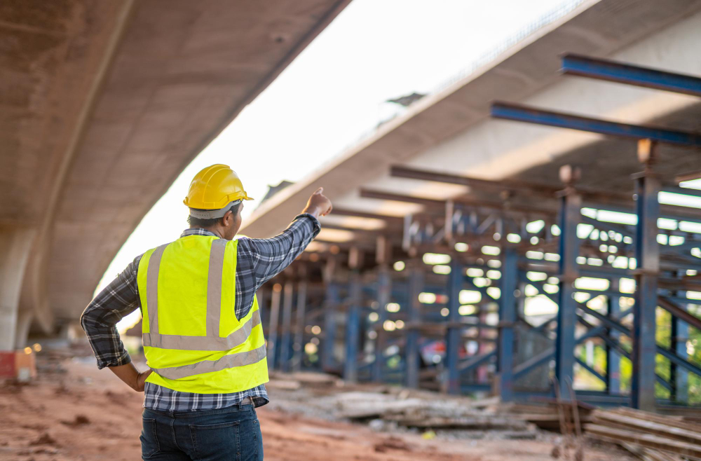
Engineers in civil, structural, and environmental disciplines benefit from our aerial insights. From detailed site evaluations and ongoing project monitoring to infrastructure inspections, our aerial data assists engineers in planning more effectively, ensuring project safety, and adhering to regulatory compliance. Our services streamline complex engineering tasks, providing clear, actionable data that enhances project outcomes.
Engineers in civil, structural, and environmental disciplines benefit from our aerial insights. From detailed site evaluations and ongoing project monitoring to infrastructure inspections, our aerial data assists engineers in planning more effectively, ensuring project safety, and adhering to regulatory compliance. Our services streamline complex engineering tasks, providing clear, actionable data that enhances project outcomes.

Designers
Visualizing Creativity with Clarity
Designers, including architects, urban planners, and landscape architects, require a clear visualization of how their projects will fit into existing environments. Our Design Visualization services transform raw data into vivid, detailed renderings and immersive virtual reality experiences. These tools help designers to not only imagine but also present their innovative concepts effectively, engaging stakeholders and the community with compelling visual narratives.
Designers, including architects, urban planners, and landscape architects, require a clear visualization of how their projects will fit into existing environments. Our Design Visualization services transform raw data into vivid, detailed renderings and immersive virtual reality experiences. These tools help designers to not only imagine but also present their innovative concepts effectively, engaging stakeholders and the community with compelling visual narratives.

Construction Companies
Building on a Foundation of Reliable Data
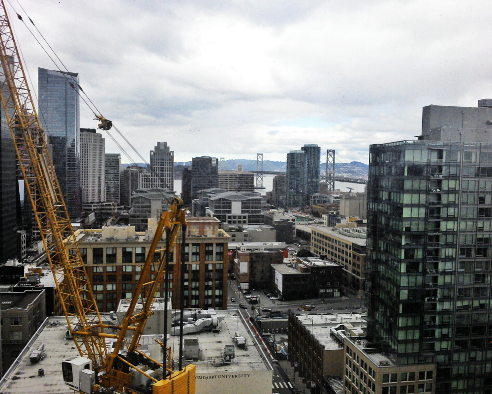
For construction firms, managing timelines, budgets, and safety concerns are paramount. Our Construction Monitoring services offer comprehensive site overviews through regular, high-resolution drone flights, providing essential data for progress tracking and resource management. This proactive monitoring helps detect potential issues early, ensuring projects stay on track and reducing the risk of costly delays or safety incidents
For construction firms, managing timelines, budgets, and safety concerns are paramount. Our Construction Monitoring services offer comprehensive site overviews through regular, high-resolution drone flights, providing essential data for progress tracking and resource management. This proactive monitoring helps detect potential issues early, ensuring projects stay on track and reducing the risk of costly delays or safety incidents
Additional
Tool Support for Drone
Add-ons Tool to Support
Professional Controller
Lorem ipsum dolor sit amet consectetur adipiscing elit dolor
Additional Lens
Lorem ipsum dolor sit amet consectetur adipiscing elit dolor
Handheld Camera Stabilizer
Lorem ipsum dolor sit amet consectetur adipiscing elit dolor
