Welcome to Striker Aero Tech
Aerial Data and Processing service.
Catering to Surveyor's, Engineers, Designers and Construction Companies.

Precision and Quality
Our state-of-the-art drones and imaging technology provide precise data with high accuracy.

Expert Team
Our team of experienced professionals is skilled in a wide range of industries, from mapping to construction management.

Fast and Efficient
Time is of the essence in your business, and our operations are designed for rapid deployment and quick data processing.
Who We Are
Elevating Precision in Aerial Data and Processing Services
Striker Aero Tech is a leading provider of aerial data and processing services, specializing in advanced drone technology solutions for the surveying, engineering, design, and construction industries. Founded by specialists in geospatial science and remote sensing, our company is committed to revolutionizing how professionals access and use aerial data for enhanced decision-making and operational efficiency.
Our Services
The Best Drone and Aerial Photography

LiDAR
LiDAR, which stands for Light Detection and Ranging, is a remote sensing method that uses light in the form of a pulsed laser to measure ranges (variable distance) to the Earth.
Construction Monitoring
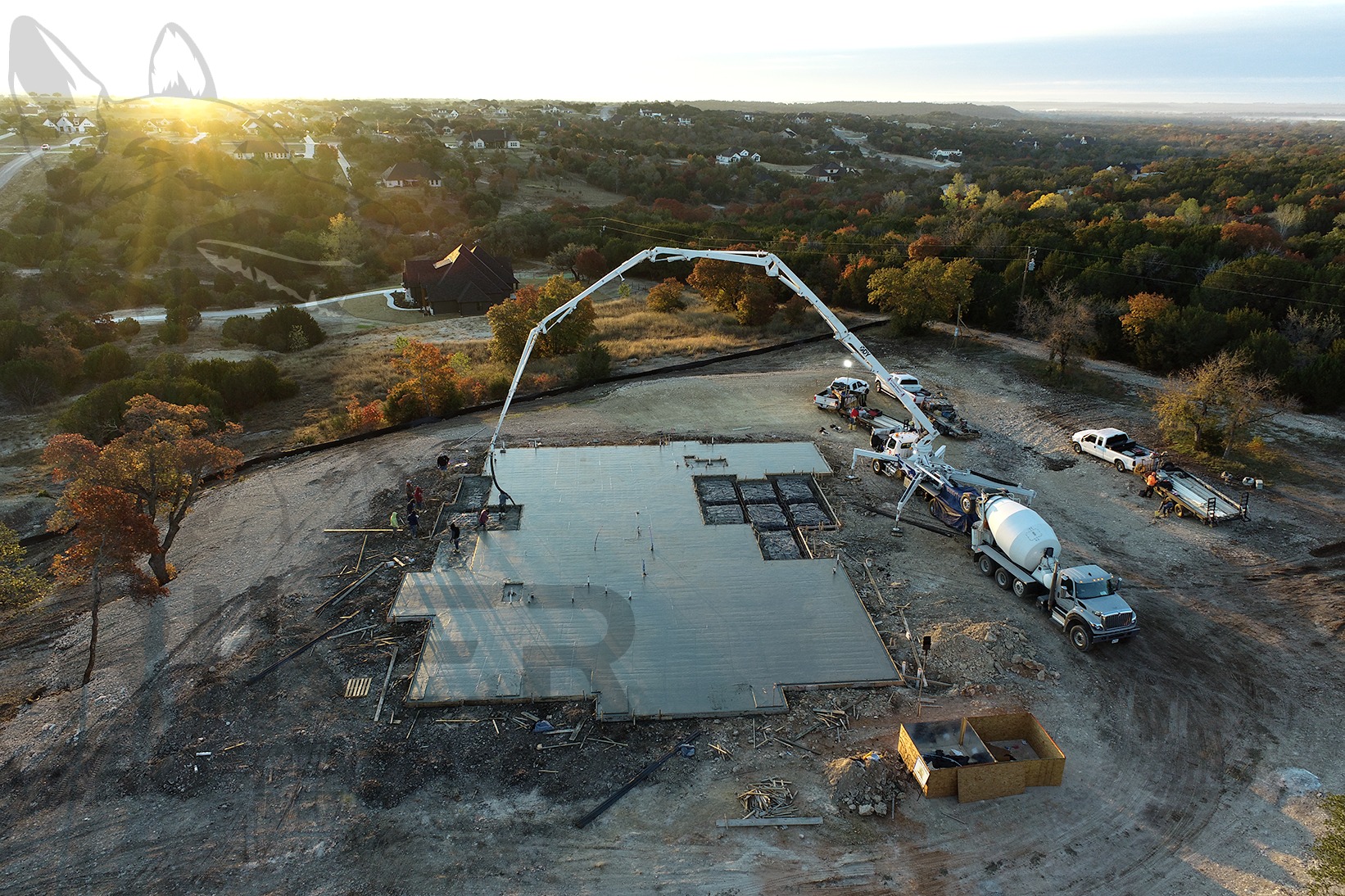
Keep your construction projects on track with regular aerial monitoring. Track progress, manage resources, and detect potential issues before they become costly. Our real-time data delivery helps you maintain strict timelines and budget adherence.
Design Visualization
Bring your design concepts to life with striking visualizations. Our aerial imaging capabilities allow architects and designers to envision new projects in their actual environments, enhancing creativity and presentation impact.
Photogrammetry
Photogrammetry is the science and technology of obtaining reliable information about physical objects and the environment through the process of recording, measuring and interpreting photographic images and patterns of electromagnetic radiant imagery and other phenomena.
Why Choose Us
Why Choose Striker Aero Tech?
Safety and Compliance
Safety is paramount in all our operations. We adhere to strict safety protocols and compliance regulations
Proven Track Record
With a history of successful projects and satisfied clients across multiple industries, our reputation speaks for itself.
Dedicated Support
At Striker Aero Tech, we believe in building lasting relationships. Our team is committed to supporting you throughout your project lifecycle
Featured Technology
New Drone Technology
-
4K/60fps
-
1-Inch Sensor
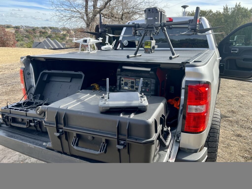
Featuring a full-frame sensor and interchangeable fixed-focus lenses on a 3-axis stabilized gimbal, our setup is tailor-made for photogrammetry flight missions, promising unmatched efficiency and precision.
-
Mechanical Shutter
The mechanical shutter ensures crisp images, particularly during high-speed drone movements. The quality of images captured while the drone follows a predetermined path is directly correlated with the shutter's performance.
-
Extended Flight Time
Be it one acre or one hundred acres, our equipment is well-suited for the task.
Featured Client
What They Say
Lorem ipsum dolor sit amet, consectetur adipiscing elit. Ut elit tellus, luctus nec ullamcorper mattis, pulvinar dapibus leo.
"Our Go-To for Precision and Reliability"
Striker Aero Tech has consistently exceeded our expectations with their high-resolution aerial surveys and rapid data processing. Their attention to detail and customized solutions have significantly enhanced our large-scale development projects. The team’s professionalism and expertise make them our preferred partner for all our aerial survey needs.
"Transformative Technology and Service"
We engaged Striker Aero Tech for a complex urban planning project, and their aerial imaging technology was a game-changer. The detailed visualizations helped us present our proposal effectively and win stakeholder approval. The support from their team, from start to finish, was outstanding. Striker Aero Tech is truly at the forefront of aerial survey innovation.
"Efficient, Effective, and Easy to Work With"
Working with Striker Aero Tech has made our construction monitoring processes both more efficient and accurate. Their drone services provided frequent updates and critical data that helped us stay on schedule and budget. Their team is not only technically skilled but also great to work with; responsive and genuinely committed to our project's success.
